Foundation sponsors 3-season wildflower surveys throughout Florida
Building on the success of the recent St. Johns River to the Sea Loop wildflower surveys, and in an effort to expand the number of wildflower routes for Florida’s quincentennial celebration in 2013, the Florida Wildflower Foundation has funded research to develop wildflower routes in three other regions of the state. They are:
- Panhandle (Jefferson County, and westward)
- Big Bend (Madison County to Levy County, south of I-10 and west of I-75)
- Corkscrew Swamp vicinity (Collier, Hendry, and Lee County)
The goal of these three-season surveys is to document the best possible routes (and loop routes, if possible) that:
- Highlight showy stands of native wildflowers/grasses and native wildflower/grass communities typical of a region.
- Occur along roadsides and, where applicable, natural areas (parks, wildlife management areas, forest roads, etc.) that are easily accessible to the public.
And where appropriate:
- Provide general management suggestions to promote sustainability of the site.
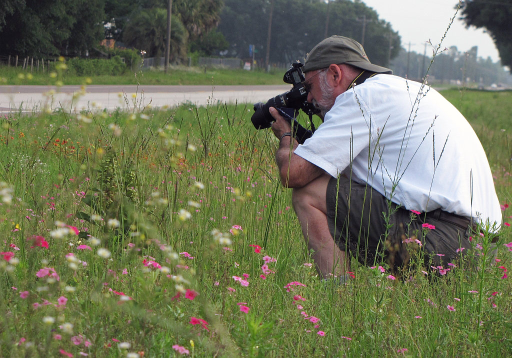
- Provide suggestions for enhancing the site with seed of existing or complementary species in order to enhance aesthetics.Jeff Norcini and Gil Nelson began their work in March with spring surveys in the Panhandle and Big Bend and a spring reconnaissance trip to the Corkscrew Swamp region. More than 110 native wildflowers were observed, most of which were flowering.
Jeff Norcini and Gil Nelson began their work in March with spring surveys in the Panhandle and Big Bend and a spring reconnaissance trip to the Corkscrew Swamp region. More than 110 native wildflowers were observed, most of which were flowering.
Here are some highlights of their spring trips:
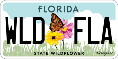
Panhandle – The entire wildflower route identified is within Liberty County and includes Apalachicola National Forest’s stretch of State Road 65, widely considered to have the best displays of native species in the state from late winter through late fall. Moreover, displays and diversity are consistent from year to year because mowing has been substantially curtailed, thanks to the US Forest Service and Florida Department of Transportation. In late April, the loop, which includes County Road 379, had excellent displays of naturally occurring native wildflowers and grasses, much of which were contiguous. Showy stands of roadside wildflowers included three species of pitcherplants (Sarracenia spp.) as well two of our state wildflowers – the yellow Lanceleaf tickseed (Coreopsis lanceolata) and the pink Swamp tickseed (C. nudata). Unfortunately, most of the wildflowers on CR 379 were mowed in early May.
Big Bend – In this region, wildflower routes are in parts of Dixie, Gilchrist, Lafayette, Levy, Suwannee and Taylor counties. Like the Panhandle, many excellent displays of naturally occurring native wildflowers and grasses occur along these routes, though displays usually weren’t nearly as contiguous as in Liberty County. The exception was in Suwannee County, where there were many contiguous stands of Goldenmane coreopsis (Coreopsis basalis). Other notable wildflowers included showy stands of Southeastern sneezeweed (Helenium pinnatifidum), Starrush whitetop (Rhynchospora colorata), Annual phlox (Phlox drummondii), and the majestic Prairie iris (Iris hexagona).
Corkscrew Swamp – This region includes several important natural areas (listed below), most of which are connected by a network of busy major roads and highways with little to no wildflowers. The parks and preserves provide a varied collection of readily accessible short walks — many on attractive and easy-to-negotiate boardwalks. All feature an assortment of native wildflowers embedded within excellent examples of Southwest Florida’s natural ecosystems. Displays, in general, were not as showy as roadside populations in the Big Bend and Panhandle. However, small populations of dixie iris throughout these sites were quite showy. One showstopper along CR 832 just west of the Okaloacoochee Slough State Forest was a 10+ acre stand of Blue toadflax (Linaria canadensis).
The researchers’ initial recommendation for this region is to devise a designated driving trail leading to these sites, noting important roadside wildflower sites along the route where available, and highlighting the hiking trails and wildflowers at each park or preserve. The ultimate suggested wildflower route may vary for spring, summer and fall.
Sites included:
- Audubon’s Corkscrew Swamp Sanctuary, which offers a 2¼ mile raised boardwalk (suitable for strollers and wheelchairs) traversing four distinct natural communities, including pine upland, wet prairie, cypress swamp and freshwater marsh.
- Corkscrew Regional Ecosystem Watershed (CREW) Marsh and Cypress Dome Trails, more than 7 miles of trails through pine flatwoods, sawgrass marsh, seasonal freshwater marshes oak hammocks, pop ash sloughs, along seasonal ponds, and the margins of cypress domes.
- Okaloacoochee (OK) Slough State Forest, which includes a short trail through flatwoods that terminates at a birding boardwalk overlooking a freshwater marsh.
- Six Mile Cypress Slough Preserve, a 2,500-acre county park that includes a fully accessible 1+-mile boardwalk traversing hammock, pine flatwoods, cypress slough and lakeside habitats.
- Other potential sites to be assessed during the next three seasonal visits include the CREW bird rookery, Koreshan State Park and Estero Bay Preserve State Park. Smaller connector roads that will be more thoroughly explored include county roads 846 and 832 (Keri Road), and state roads 82 and 29 north of Immokalee.

